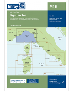
M16 Ligurian Sea (Imray Chart)

- FREE Delivery to UK - Spend over £75
- FREE Delivery to Europe - Spend over £150
- Worldwide Delivery Available
Mediterranean Sea, Italy, West Coast Imray Chart - 1:325,000 Scale
Product Details
Part Number: YOT2080F
Scale: 1:325000
ISBN: 9781846238444
Publisher: Imray Laurie Norie And Wilson Ltd
Manufacturer: Imray Laurie Norie And Wilson Ltd
Edition: 2016
Printed and corrected to: April 2023
Format: Sheet size 640 x 900mm. Waterproof. Folded in plastic wallet.
Language: English
MPN: ICM16-3
On this July 2016 edition the latest information on firing practice areas is shown, as are the latest details of Marine Reserves. Harbour developments are shown on plans of Livorno, La Spezia and Golfo Marconi.
Plans included:
- San Remo (1:15 000)
- Approaches to Genova (1:75 000)
- Golfo Marconi (1:40 000)
- Approaches to La Spezia (1:37 500)
- Viareggio (1:20 000)
- Approaches to Livorno (1:50 000)