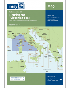
M40 Ligurian and Tyrrhenian Seas (Imray Chart)

- FREE Delivery to UK - Spend over £75
- FREE Delivery to Europe - Spend over £150
- Worldwide Delivery Available
Printed and corrected to April 2023
Product Details
Part Number: YOT2089A
Scale: 1:950000
ISBN: 9781846236167
Publisher: Imray Laurie Norie And Wilson Ltd
Manufacturer: Imray Laurie Norie And Wilson Ltd
Edition: 2014
Printed and corrected to: April 2023
Format: Sheet size 640 x 900mm. Waterproof. Folded in plastic wallet.
Language: English
MPN: ICM40-2
Plans included:
Monte Argentario (1:100 000)
Bonifacio Strait (1:225 000)
Golfo di Salerno (1:100 000)
For this 2014 edition the chart has been fully updated throughout using revised depths where applicable. The full list of recently deployed AIS transmitters are shown across the chart, as is the new marina in Rada di Salerno.