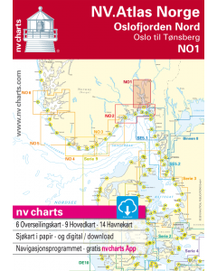
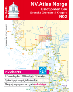
Norwegian Charts - Norway, Svalbard, Jan Mayen and Bouvetøya

- FREE Delivery to UK - Spend over £75
- FREE Delivery to Europe - Spend over £150
- Worldwide Delivery Available
Kartverket - The Norwegian Mapping Authority's nautical charts are available as Print on Demand charts (POD) covering Norway, Svalbard, Jan Mayen and Bouvetøya.
Product Details
Part Number: NOR
Scale: 1:1(Various)
Publisher: Norway Hydrographic Office
Manufacturer: No
Edition: No
Printed and corrected to: No
Format: No
View Norwegian Chart Catalogue
The Norwegian Mapping Authority's nautical charts are available as Print on Demand charts (POD).
The scale and content in the nautical charts is adapted to different shipping and user needs. These are the Norwegian nautical chart series:
Main Chart Series:
- 143 nautical charts
- Scale 1:50 000 (with a few exceptions)
- Datum: WGS84
- Covers the coast from the border with Sweden to Grense Jacobselv (the border with Russia), and parts of Svalbard.
- The Main Chart Series are charts primarily for navigation in inner coastal waters.
Harbour Chart Series:
- 45 nautical charts
- The scale varies from 1:5 000 to 1:25 000
- Datum: WGS84
- This series comprises charts on large scales of harbours and entrances along the Norwegian coast.
Coastal Chart Series:
- 12 nautical charts
- The scale varies from 1:200 000 to 1:350 000
- Datum: WGS84
- Covers the Norwegian coast from the border with Sweden to Grense Jakobselv (the border with Russia).
General Chart Series:
- 12 nautical charts
- The scale varies from 1:700 000 to 1:10 000 000
- Datum: WGS84
- The series comprises charts covering the North Sea, the Norwegian Sea, Svalbard, the Barents Sea, the Greenland Sea, Iceland, Eastern Greenland, the North Atlantic and Antarctica.
- The charts form part of an International Chart Series under the International Hydrographic Organization's direction. They are marked with INT in addition to the international chart number.
Main Chart Series Svalbard, Jan Mayen and the Bouvet Island:
- 21 nautical charts
- The scale varies from 1:15 000 to 1:100 000
- Datum: WGS84
Notices to Mariners
It is the responsibility of the users to update the nautical charts after the date of the last Norwegian notices to mariners, Etterretninger for sjøfarende (Efs). Changes of significant navigational importance are published consecutively in the Etterretninger for sjøfarende (Efs) every 14 days, which is available free of charge at kartverket.no/efs.
Norway Nautical Charts

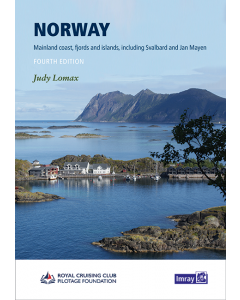
Norway Cruising Guides & Pilot Books
-
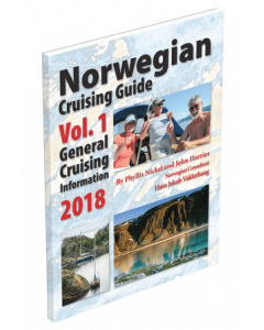
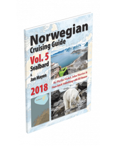
Norwegian Cruising Guide Vol. 1 - General Cruising Information
£29.95Stock Out of stockOut of stock -
-
-
-
-
-
-
-
-