C-MAP MAX electronic charts have been a worldwide standard for years, providing cruisers, sailors and fishermen with the accurate, up-to-date chart data they need to enjoy each day on the water. Still a leading choice of navigators and chartplotter manufacturers around the globe.
Updated twice annually to provide all the latest detail and information
Compatible with dozens of chartplotters from top manufacturers
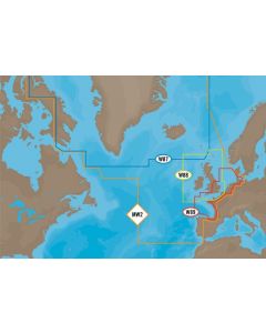
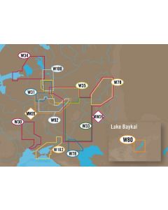
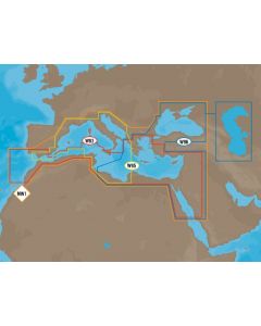
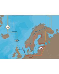
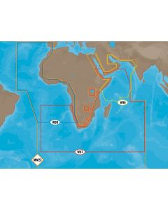
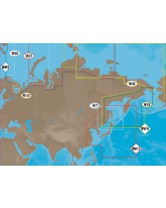
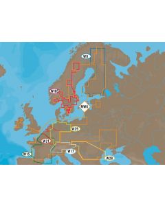
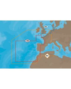
Extensive coverage of coastal waters, lakes and rivers
Local, Wide and MegaWide coverage for all charting needs and budgets