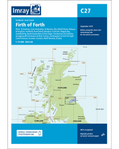
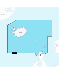
C27 Firth of Forth (Imray Chart)

- FREE Delivery to UK - Spend over £75
- FREE Delivery to Europe - Spend over £150
- Worldwide Delivery Available
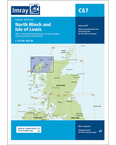
Detailed chart of the Firth of Forth, on Scotland's east coast
Product Details
Part Number: YOT0340
Scale: 1:75000
ISBN: 9781786790590
Publisher: Imray Laurie Norie And Wilson Ltd
Manufacturer: Imray Laurie Norie And Wilson Ltd
Edition: 2018
Printed and corrected to: February 2024
Format: Sheet size 787 x 1118mm. Waterproof. Folded in plastic wallet.
Language: English
MPN: ICC27-2
Plans included:
St Andrews (1:7500)
Crail (1:7500)
Anstruther (1:7500)
St Monans (1:7500)
Elie (1:10 000)
Methil Docks (1:11 000)
Pettycur & Kinghorn (1:17 500)
Inchkeith (1:25 000)
Burntisland (1:20 000)
Aberdour (1:12 500)
Inchcolm (1:15 000)
Dalgety Bay (1:15 000)
Inverkeithing (1:15 000)
North Queensferry & Port Edgar (1:20 000)
Charlestown & Limekilns (1:15 000)
Grangemouth & Entrance to River Carron (1:17 500)
Continuation to Forth & Clyde Canal Entrance (1:17 500)
Granton (1:12 500)
Fisherrow (1:12 500)
North Berwick (1:7500)
Dunbar (1:7500)
On this 2018 edition the chart specification has been improved to show coloured light flashes. Depths have been updated from the latest surveys where available. Additional tidal stream data has been added. There has been general updating throughout.