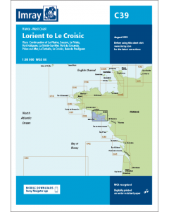
C39 Lorient to Le Croisic (Imray Chart)

- FREE Delivery to UK - Spend over £75
- FREE Delivery to Europe - Spend over £150
- Worldwide Delivery Available
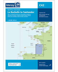
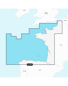
France West Coast Imray Chart
Product Details
Part Number: YOT0460
Scale: 1:80000
ISBN: 9781846239335
Publisher: Imray Laurie Norie And Wilson Ltd
Manufacturer: Imray Laurie Norie And Wilson Ltd
Edition: 2017
Printed and corrected to: February 2024
Format: Sheet size 787 x 1118mm. Waterproof. Folded in plastic wallet.
Language: English
MPN: ICC39-2
Plans included:
- Sauzon (1:10 000)
- Le Palais (1:10 000)
- Port Haliguen (1:20 000)
- La Trinité-Sur-Mer (1:25 000)
- Port Du Crouesty (1:20 000)
- Piriac-sur-Mer (1:20 000)
- La Turballe (1:15 000)
- Le Croisic (1:15 000)
- Baie de Pouliguen (1:50 000)
- Continuation of La Vilaine (1:80 000)
On this 2017 edition the latest depths have been included where available. The chart has fully updated firing practice areas and the harbour developments at La Turballe are included. The chart specification has been improved to show coloured light flashes. There has been general updating throughout.
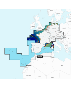
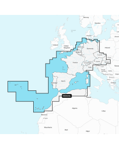
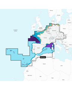
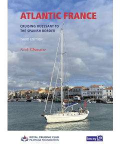
Atlantic France Imray Charts


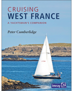
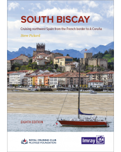
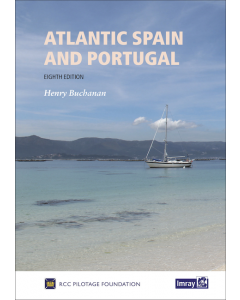
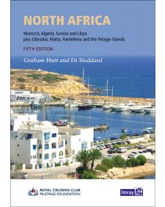
Atlantic Europe Cruising Guides & Pilot Books
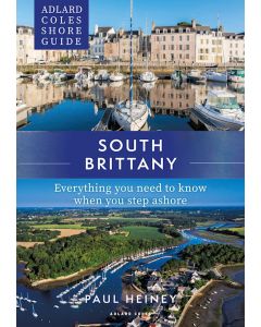


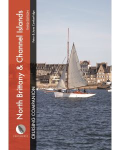
Brittany & Channel Islands Cruising Guides & Pilot Books
Atlantic Europe Regular Digital Charts


Atlantic Europe Large Digital Charts
-
Navionics+ Large - Europe, Central & West
Special Price £220.00 Regular Price £229.99Stock In stock -
-
-