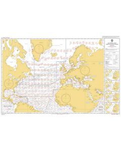
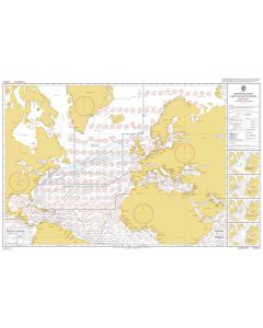
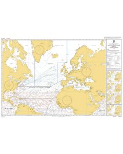
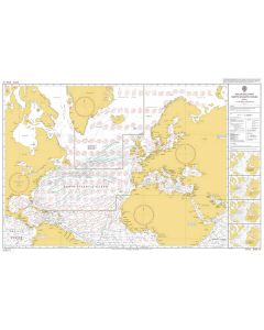
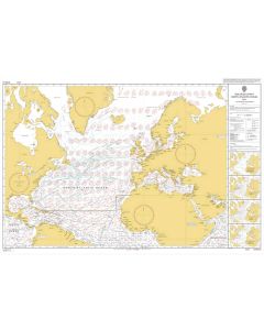
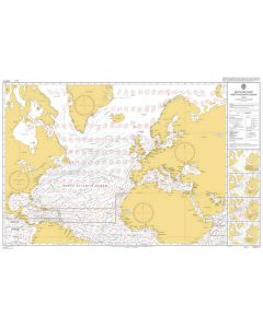
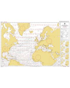
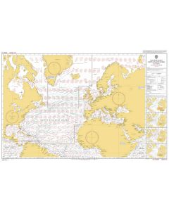
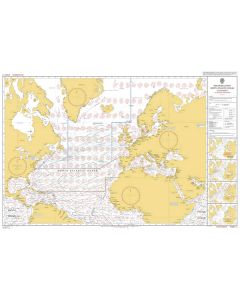
ADMIRALTY Chart 5095: North Atlantic Ocean [Gnomonic Chart]

- FREE Delivery to UK - Spend over £75
- FREE Delivery to Europe - Spend over £150
- Worldwide Delivery Available
A Gnomonic Planning Chart for Great Circle Sailing, North Atlantic Ocean
Product Details
Part Number: 5095
Scale: 1:17500000
Publisher: UK Hydrographic Office
Edition: Aug-18
Printed and corrected to: date of order
Format: Printed on demand (not returnable), at least approximately 107 x 71.5cm, folded at least once. Please contact us if you would like your chart unfolded.
MPN: BA5095
A Gnomonic Planning Chart for Great Circle Sailing, North Atlantic Ocean
Gnomonic charts are used in passage planning to plot great circle routes as a straight line. This chart is useful for devising composite rhumb line courses.