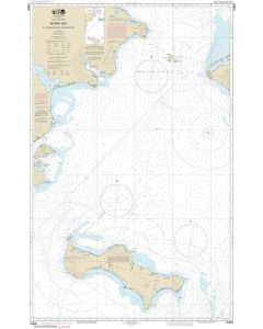
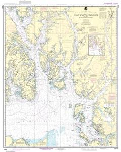
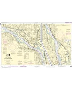
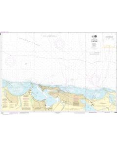
NOAA

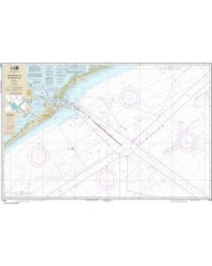
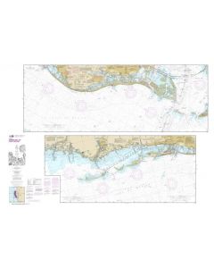
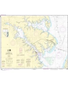
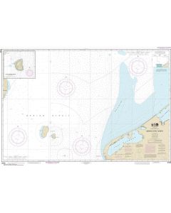
National Oceanic and Atmospheric Administration (NOAA) maintains the nautical charts and publications for U.S. coasts and the Great Lakes. Over a thousand charts cover 95,000 miles of shoreline and 3.4 million square nautical miles of waters.
Printed on demand using the most up to date NOAA data and latest Notice to Mariners (NTMs) applied at time of print. Meets United States Coast Guard carriage requirements.
Printed in house at Stanfords.
Not all NOAA Nautical Charts are listed on our website. Please contact us if you need other NOAA Charts.
