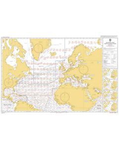
Atlas of Pilot Charts North Atlantic Ocean

- FREE Delivery to UK - Spend over £75
- FREE Delivery to Europe - Spend over £150
- Worldwide Delivery Available
NON STOCK ITEM - AVAILABLE IN 2-3 WEEKS
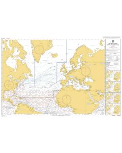
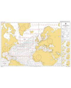
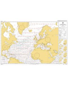
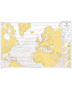
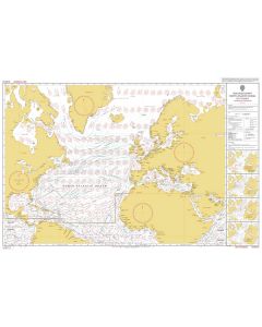
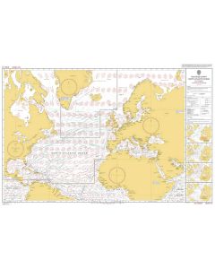
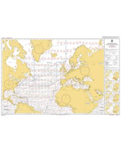
Pub. 106 - Atlas of Pilot Charts North Atlantic Ocean (including Gulf of Mexico), 2002 ed.
Product Details
Part Number: NVPUB106
Edition: 2002
Printed and corrected to: No
Publisher: National Geospatial-Intelligence Agency (NGA)
Language: English
Format: No
Pilot Charts depict averages in prevailing winds and currents, air and sea temperatures, wave heights, ice limits, visibility, barometric pressure, and weather conditions at different times of the year. The information used to compile these averages was obtained from oceanographic and meteorologic observations over many decades during the late 18th and 19th centuries.
The Atlas of Pilot Charts set is comprised of five volumes, each covering a specific geographic region. Each volume is an atlas of twelve pilot charts, each depicting the observed conditions for a particular month of any given year.
The charts are intended to aid the navigator in selecting the fastest and safest routes with regards to the expected weather and ocean conditions. The charts are not intended to be used for navigation.
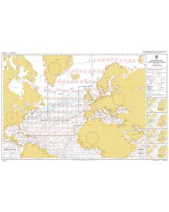
ADMIRALTY Routeing Charts 5124: North Atlantic Ocean


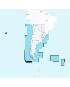
Atlantic Ocean Large Digital Charts
-
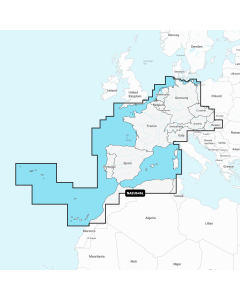
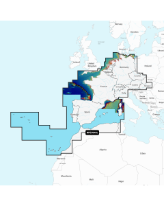
Navionics+ Large - Europe, Central & West
Special Price £220.00 Regular Price £229.99Stock In stock -
-
-
-
-