Air Navigation
Sight Reduction Tables for Air Navigation, or simply Navigation by Celestaire and the UK Hydrographic Office are split into 3 volumes:
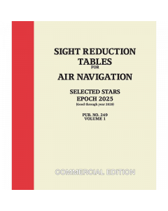
Volume 1 contains some stars (whose declinations may be more than 29°) that are pre-selected for optimum viewing and direction. This volume is applicable for an 8 year period, centered on its Epoch date.
Volume 2 covers lattitudes 0-40 & Volume 3 covers latitudes 39-89, but work only for declinations from 0° to 29° north or south. This covers the sun, moon, planets, and only those stars whose declinations fall into this range.
![NP303[1] - ADMIRALTY Rapid Sight Reduction Tables For Navigation: Volume 1](https://www.bookharbour.com/media/catalog/product/cache/f073062f50e48eb0f0998593e568d857/n/p/np303_1_.jpg)
![NP303[2] - ADMIRALTY Rapid Sight Reduction Tables For Navigation: Volume 2](https://www.bookharbour.com/media/catalog/product/cache/f073062f50e48eb0f0998593e568d857/n/p/np303_2_.png)
![NP303[3] - ADMIRALTY Rapid Sight Reduction Tables For Navigation: Volume 3](https://www.bookharbour.com/media/catalog/product/cache/f073062f50e48eb0f0998593e568d857/n/p/np303_3_.jpg)
![Sight Reduction Tables for Air Navigation Vol.2 [Lat.0 to 40] - [Decl.0 to 29]](https://www.bookharbour.com/media/catalog/product/cache/f073062f50e48eb0f0998593e568d857/s/r/srpub249v2_1.jpg)
![Sight Reduction Tables for Air Navigation Vol.3 [Lat.39 to 89] - [Decl.0 to 29]](https://www.bookharbour.com/media/catalog/product/cache/f073062f50e48eb0f0998593e568d857/s/r/srpub249v3_1.jpg)
