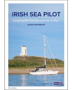
C61 St George's Channel (Imray Chart)

- FREE Delivery to UK - Spend over £75
- FREE Delivery to Europe - Spend over £150
- Worldwide Delivery Available
Anglesey to Dublin, Waterford and the Smalls
Wales and East Coast of Ireland Imray Chart
Product Details
Part Number: YOT0690
Scale: 1:280000
ISBN: 9781786792143
Publisher: Imray Laurie Norie And Wilson Ltd
Edition: 2020
Printed and corrected to: February 2024
Format: Sheet size 787 x 1118mm. Waterproof. Folded in plastic wallet.
Language: English
MPN: ICC61-3
Wales to the East Coast of Ireland
Plans included:
Cardigan (1:40 000)
New Quay (1:20 000)
Aberystwyth (1:20 000)
Aberdovey (1:50 000)
Barmouth (1:30 000)
Porthmadog (1:75 000)
Tremadog Bay (1:75 000)
Menai Strait (1:80 000)
Menai Strait - The Swellies (1:25 000)
Conwy (1:30 000)
Dun Laoghaire (1:25 000)
Dublin Bay (1:90 000)
Wicklow (1:10 000)
Arklow (1:15 000)
Wexford (1:75 000)
On this edition the chart specification has been improved to show coloured light flashes. The firing practice areas have been updated and the extents of the Skomer I. Marine Reserve is shown. There has been general updating throughout.

![NP255 - ADMIRALTY Tidal Stream Atlas: Falmouth to Padstow [including Isles of Scilly]](https://www.bookharbour.com/media/catalog/product/cache/f073062f50e48eb0f0998593e568d857/n/p/np255_1.jpg)