Atlantic Pilot Atlas

- FREE Delivery to UK - Spend over £75
- FREE Delivery to Europe - Spend over £150
- Worldwide Delivery Available
Pilot Charts and Regional Weather Conditions for North Atlantic, South Atlantic, Caribbean & Mediterranean.
Product Details
Part Number: PIL0255
Edition: 2011
Printed and corrected to: No
ISBN: 9781408122471
Publisher: Bloomsbury
Imprint: Adlard Coles
Language: English
Format: Spiralbound
The Atlantic Pilot Atlas provides a complete guide to the weather of the North and South Atlantic, the Mediterranean and the Caribbean. Now revised for the fifth edition, it includes weather forecasting, global warming and hurricane avoidance information as well as wind and current charts, wave heights, tropical cyclone tracks and shipping routes. Any skipper contemplating an ocean crossing needs to know what conditions he is likely to meet en route, in order to plan a safe and comfortable passage, and this book provides exactly what is needed.
40 specially drawn colour charts show detailed information on the winds, currents, gale frequencies, rough sea conditions, hurricane tracks and recommended sailing routes for each month of the year for all these oceans.
Reviews
'This is what every yachtsman contemplating an extended cruise needs in one book... No serious offshore bookshelf should be without one.' Yachting Monthly
'Without doubt the most useful guide for anyone planning a Transatlantic voyage.' Ships & Ports
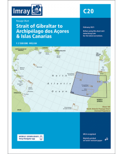
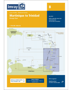
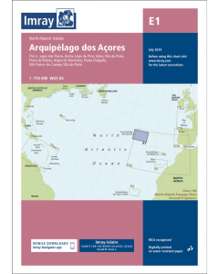
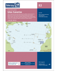
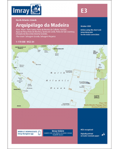
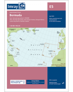
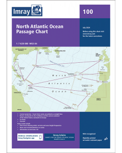
Atlantic Islands & Atlantic Crossing Imray Charts

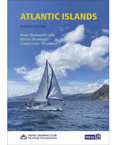
Atlantic Islands Cruising Guides & Pilot Books


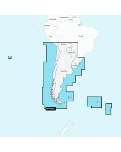
Atlantic Ocean Large Digital Charts
-
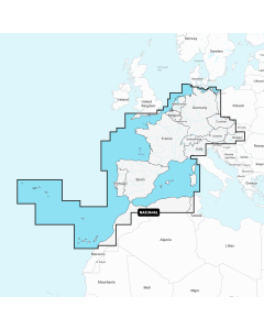
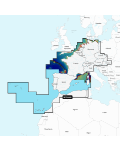
Navionics+ Large - Europe, Central & West
Special Price £220.00 Regular Price £229.99Stock In stock -
-
-
-
-