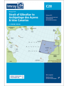
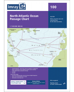
C20 Strait of Gibraltar to Arquipélago dos Açores and Islas Canarias (Imray Chart)

- FREE Delivery to UK - Spend over £75
- FREE Delivery to Europe - Spend over £150
- Worldwide Delivery Available
North Atlantic Ocean Imray Passage Chart
Product Details
Part Number: YOT0216
Scale: 1:2500000
ISBN: 9781786792587
Publisher: Imray Laurie Norie And Wilson Ltd
Edition: 2021
Printed and corrected to: February 2024
Format: Sheet size 787 x 1118mm. Waterproof. Folded in plastic wallet.
Language: English
MPN: ICC20-2
A passage chart designed for planning and navigating across the North Atlantic between Gibraltar, the Azores and the Canary Islands.
Based on official Hydrographic Office data with additional information from across Imray’s network, tailored to appropriate scales and level of data for leisure sailors.
Imray’s award-winning cartography includes a familiar, logical colour scheme, coloured light sectors and fine overprinted latitude and longitude grids to make plotting easier.
On this edition the magnetic variation curves have been updated with the latest data. There has been general updating throughout.
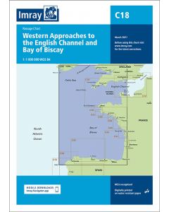
Atlantic Europe Charts
Atlantic Islands & Atlantic Crossing Imray Charts

Atlantic Islands Cruising Guides & Pilot Books

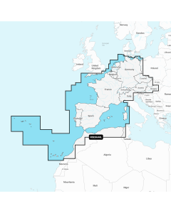
Atlantic Europe Regular Digital Charts


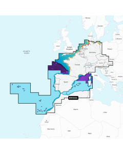
Atlantic Europe Large Digital Charts
-
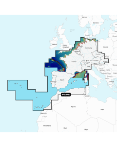
Navionics+ Large - Europe, Central & West
Special Price £220.00 Regular Price £229.99Stock In stock -
-
-