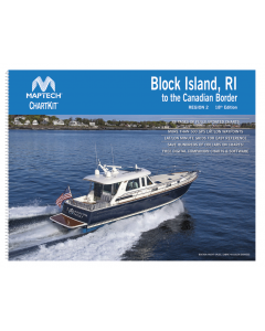
ChartKit Region 2 - Block Island, R.I. to the Canadian Border

- FREE Delivery to UK - Spend over £75
- FREE Delivery to Europe - Spend over £150
- Worldwide Delivery Available
- 88 Pages of fully updated charts
- More than 500 GPS LAT/LON waypoints
- Lat/lon minute grids for easy reference
- Save hundreds of dollards on charts!
- Free digital companion charts & software
Product Details
Part Number: PIL0997
Scale: 1:1(Various)
ISBN: 9780743612418
Publisher: Maptech
Edition: No
Printed and corrected to: edition date
Format: Folio - A2 Size - Wirobound
Language: English
MPN: R02-18
Maptech's ChartKits® are full-color reproductions of NOAA charts bundled together in large cruising regions.
ChartKits® have been a mainstay of boating for generations—more than 1 million ChartKits® have been sold in the past 30 years!
88 Chart Pages
- A Great Value - You’ll save up to 90% compared to the cost of purchasing individual government charts.
- The Perfect Size - Large enough to plot routes; small enough to fit on your lap.
- Easy to Use - Pre-plotted waypoints and lat/long grids for your GPS; magnetic courses for your compass.
- Fully Referenced - Geographic and alphabetical indexes quickly point you to the right page.
- Reliable - A great primary or secondary navigational reference.
- No Batteries Required!