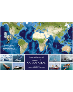
Cornell's Ocean Atlas

- FREE Delivery to UK - Spend over £75
- FREE Delivery to Europe - Spend over £150
- Worldwide Delivery Available
Pilot charts for all oceans of the world by Jimmy and Ivan Cornell
Product Details
Part Number: PIL0256
Edition: 2023
Printed and corrected to: No
ISBN: 9781916091047
Publisher: Cornell Sailing
Format: Spiralbound
Jimmy Cornell, experienced sailor and bestselling author, has teamed up with his son Ivan to produce a fully updated and revised second edition of Cornells’ Ocean Atlas aimed at navigators planning an offshore voyage.
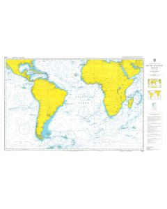
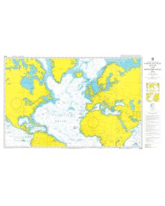
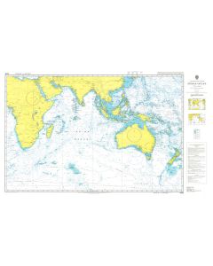
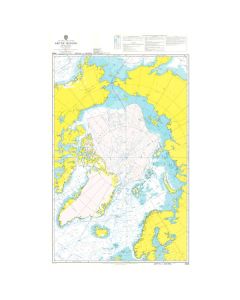
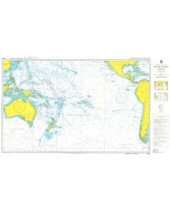
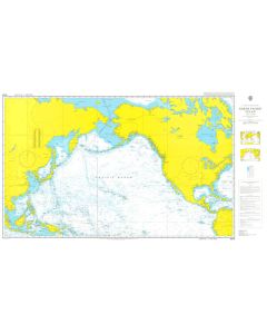
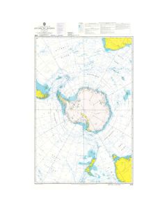
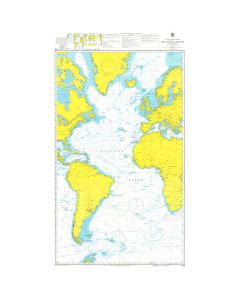
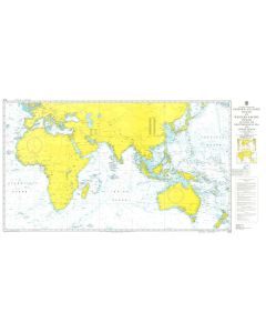
Eighty monthly pilot charts of all oceans for the world show wind speed and direction, current speed and direction, approximate extent of the Intertropical Convergence Zone, the most common tracks of tropical storms, and the mean location of high pressure cells for each hemisphere.
Sixty detailed charts of the most commonly sailed ocean routes make it easier to plan a route that takes best advantage of the prevailing weather conditions at that time of year. Sidebars with tactical suggestions have been added to the months when most passages are undertaken. The comments and tips on tactics, as well as weather overviews for each ocean, were contributed by meteorologists and routers specialising in those ocean areas.
The new edition has been reformatted to incorporate a new feature: monthly windgrams for the most sailed ocean routes. Windgrams are a summary of wind strength and direction derived from the individual windroses along a specific ocean route. They will greatly simplify the work of planning specific ocean passages by showing at a glance a visual summary of wind conditions along the entire length of a chosen route.
The first edition, published in 2012, was based on satellite observations undertaken in the previous 20 years (1991-2011). The second edition is fully revised and updated by incorporating data gathered during the last five years (2011-2016). The data now spans 25 years and reflects any changes that have occurred during this latest period.
Although the initial edition of the atlas was aimed at owners of sailing yachts, because there is no other publication dealing with offshore weather conditions, the atlas has also been bought by owners of motor-yachts, cruise ship companies, commercial fishing boats, and even military naval ships.
Books by Jimmy Cornell


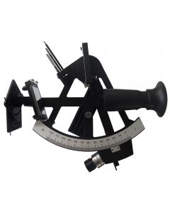
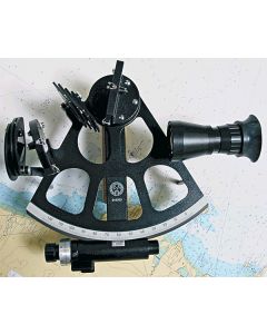
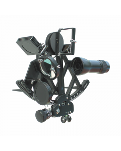
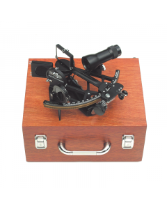
Metal Marine Sextants
-
-
-
-
-
-
Celestial Navigation Pack
Special Price £799.00 Regular Price £851.50Stock Out of stockOut of stock -