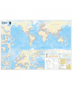
The Shipping World's Map

- FREE Delivery to UK - Spend over £75
- FREE Delivery to Europe - Spend over £150
- Worldwide Delivery Available
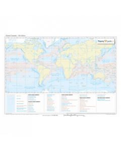
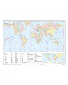
The 10th Edition of The Shipping World's Map is a comprehensive world map featuring over 2,100 ports and terminals, of which 61 are new to this edition.
Product Details
Part Number: ATL0075
Edition: 2018
Printed and corrected to: No
Publisher: Shipping Guides
Language: English
Format: Laminated A0 (1189 x 841mm )
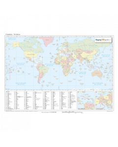
The 11th Edition of The Shipping World's Map is a comprehensive world map featuring over 2,100 ports and terminals.
The map features one large global view, with additional regions expanded to provide greater detail on congested maritime areas. The port symbols indicate, not only the location of the port, but also the relative size of the port and whether drydock repair facilities are available for the largest vessels.
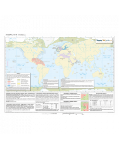
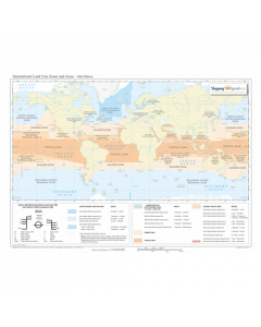
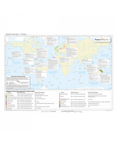
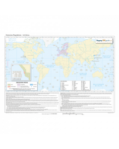
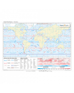
In addition, two inset maps are included which feature International Load Line Zones and Areas and a summary of MARPOL 73/78 regulations, including the upcoming designation of the Baltic Sea and North Sea ECAs for NOx Tier III control.
This useful and attractive world map is ideal for use in the office, in the boardroom or on the bridge.
Customisable options are available at an additional cost.
Key Features
- Over 2,100 major ports and terminals around the world
- 61 new entries since the last edition
- MARPOL 73/78 with latest amendments, including polar waters regulations, additional explanatory notes and upcoming designation of the Baltic Sea and North Sea ECAs for NOx Tier III control.
- International load line zones and areas
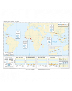
- Time clocks indicating UT (GMT) standard time zones
- Key maritime areas, including Europe and the Mediterranean, NW Australia, Japan, Eastern Asia, the Philippines, Bass Strait, the Gulf, Gulf of Guinea, India, the Caribbean, North Gulf of Mexico, Vancouver/Seattle, the Great Lakes and St Lawrence Seaway
- Port symbols indicating the location of the port, along with its relative size and whether drydocks are available for the largest vessels
- Your corporate logo can be added to The Shipping World's Map if desired (minimum order requirement applies)
- Larger sizes available upon request (minimum order requirement applies)