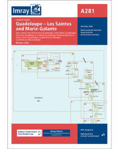
A281 Les Saintes and Marie-Galante (Imray Chart)

- FREE Delivery to UK - Spend over £75
- FREE Delivery to Europe - Spend over £150
- Worldwide Delivery Available
Imray Laurie Norie And Wilson Ltd
Product Details
Part Number: YOT0938
Scale: 1:75000
ISBN: 9781846230028
Publisher: Imray Laurie Norie And Wilson Ltd
Edition: 2006
Printed and corrected to: November 2006
Format: Sheet size 640 x 900mm. Waterproof. Folded in plastic wallet.
Language: English
MPN: ICA281
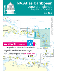
Imray-Iolaire charts for Caribbean are widely acknowledged as the best available for the cruising sailor. They combine the latest official survey data with first-hand information gathered over 60 years of research by Don Street Jr and his wide network of contributors. Like all Imray charts, they are printed on water resistant Pretex paper for durability, and they include many anchorages, facilities and inlets not included on official charts.
Includes the following panels:
Les Saintes (1:20,000)
Marie-Galante (1:75,000)
Plus plans of these harbours and anchorages:
Sainte-Anne & Anse Accul (Guadeloupe) (1:10,000)
Sainte-Marie (Guadeloupe) (1:20,000)
Petit Havre (Guadeloupe) (1:20,000)
Le Moule (Guadeloupe) (1:10,000)
Northern Approach to Pointe-à-Pitre (Guadeloupe) (1:75,000)
Grande Anse (La Desirade) (1:10,000)
Grand-Bourg (Marie-Galante) (1:10,000)