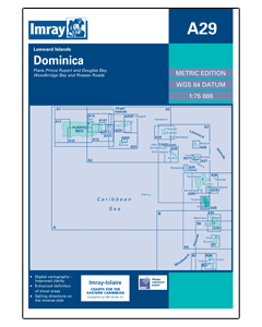
A29 Dominica (Imray Chart)

- FREE Delivery to UK - Spend over £75
- FREE Delivery to Europe - Spend over £150
- Worldwide Delivery Available
Imray Laurie Norie And Wilson Ltd
Product Details
Part Number: YOT0940
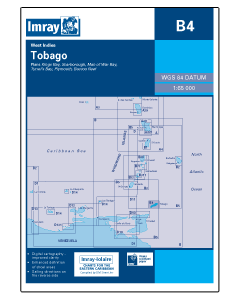
Scale: 1:75000
ISBN: 9780852889893
Publisher: Imray Laurie Norie And Wilson Ltd
Edition: 2006
Printed and corrected to: October 2021
Format: Sheet size 640 x 900mm. Waterproof. Folded in plastic wallet.
Language: English
MPN: 9780852889893
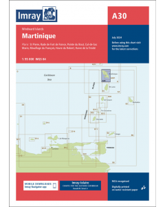
Imray-Iolaire charts for Caribbean are widely acknowledged as the best available for the cruising sailor. They combine the latest official survey data with first-hand information gathered over 60 years of research by Don Street Jr and his wide network of contributors. Like all Imray charts, they are printed on water resistant Pretex paper for durability, and they include many anchorages, facilities and inlets not included on official charts.
Leeward Islands
Plans include:
Prince Rupert and Douglas Bays
Roseau Roads and Woodbridge Bay


![The 2024-2025 Sailors Guide to the Windward Islands [PRE-ORDER]](https://www.bookharbour.com/media/catalog/product/cache/f073062f50e48eb0f0998593e568d857/s/m/smallcover-wwi-24-25-45.png)