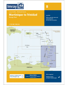
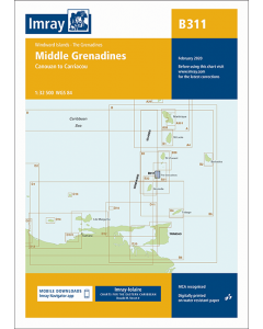
B31 Bequia to Carriacou (Imray Chart)

- FREE Delivery to UK - Spend over £75
- FREE Delivery to Europe - Spend over £150
- Worldwide Delivery Available
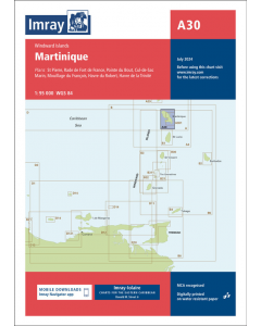
The Grenadines, Windward Islands Imray Chart
Product Details
Part Number: YOT0960
Scale: 1:90000
ISBN: 9781846237041
Publisher: Imray Laurie Norie And Wilson Ltd
Edition: 2015
Printed and corrected to: February 2020
Format: Sheet size 640 x 900mm. Waterproof. Folded in plastic wallet.
MPN: ICB31-1
Plans included:
- Charlestown Bay (Canouan) (1:20 000)
- Tobago Cays (1:30 000)
- Clifton Harbour (Union Island) (1:25 000)
- Hillsborough Bay (Carriacou) (1:35 000)
- East Coast of Carriacou (1:45 000)
- South Coast of Carriacou (1:50 000)
For this 2015 edition the chart has been fully updated throughout. Two new plans have been added of the east and south coasts of Carriacou. These new plans display revised depths and anchorages in the waters around Carriacou.


![The 2024-2025 Sailors Guide to the Windward Islands [PRE-ORDER]](https://www.bookharbour.com/media/catalog/product/cache/f073062f50e48eb0f0998593e568d857/s/m/smallcover-wwi-24-25-45.png)