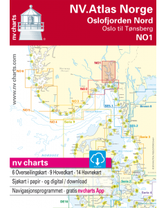
NO 1: NV.Atlas Norge - Oslofjord Nord (Oslo til Tønsberg)

- FREE Delivery to UK - Spend over £75
- FREE Delivery to Europe - Spend over £150
- Worldwide Delivery Available
This atlas contains a download code for all charts in this area to be used with the nv chart app. The app is compatible with Apple: iOS/MacOSX, Android & Windows: 7/8/10.
Product Details
Part Number: YOT0006NO1
Scale: 1:1(Various)
ISBN: 9783932414497
Publisher: NV Charts
Edition: 2023
Printed and corrected to: edition date
Format: Combipack - Paper / Download and app
Language: English
MPN: 9783932414497
- Passage Charts
- Coastal Charts
- Details
- Harbour Plans paper & digital
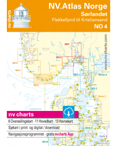
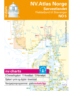
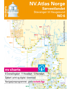
The NV. Atlas Norge NO 1 - Oslofjorden til Tønsberg (Oslofjord to Tønsberg) includes passage and overview charts (scales from 1:1.400.000 to 1:120.000), coastal charts (scale 1:40.000) and harbour details scales 1:5.00 to 1:25.000). The combipack includes overview charts covering the entire Norwegian coast (scale 1:1.400.000) giving general information on currents. The combipack appears in nv charts new handy Atlas format (A3) and includes paper and digital charts, as well as a navigation software and nv charts free navigation app for mobile devices and tablet PC's. nv charts for the Norwegian coast are based on official Norwegian HO data. They include numerous harbour details and approaches, passages and anchorages of the given area, including sketches and plans from the “Norske Los” and special charts for the Blindleia and Jomfruland. The clear structure makes finding harbour details or anchorages a matter of seconds. In this way the mariner gets quick access to all important navigational information. All information is also shown in the nv charts App.The cartography captivates through well-chosen sheet cuts and ideal scales: e.g.coastal charts scale 1: 40.000.