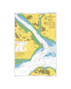
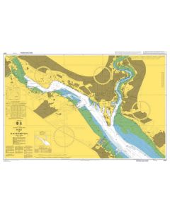
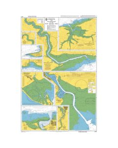
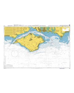
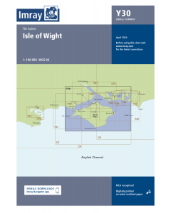
OS Landranger Map - Solent and Isle of Wight (196)

- FREE Delivery to UK - Spend over £75
- FREE Delivery to Europe - Spend over £150
- Worldwide Delivery Available
For when it’s about the journey, not the destination. . . Our pink Landranger maps cover long distances making them perfect for an extensive hike, cycling tour, or driving holiday. It’s the perfect companion for your next trek or excursion – providing information on footpaths, rights of way, & plenty of tourist information.
Product Details
Part Number: MAP0196
Scale: 1:50000
ISBN: 9780319262948
Publisher: Ordnance Survey
Edition: 2016
Printed and corrected to: No
Format: Folded
Language: English
The Solent & Isle of Wight Landranger map is a must-have companion, be it for a day trip or holiday.
Accessing the Isle is and adventure in itself, you can take a car ferry from Portsmouth, Southampton, or Lymington. There is also a hovercraft for foot passengers at Southsea.
Featured on this map is the Southern part of the New Forest National Park — including Exbury and Lymington. While there, take an opportunity to explore the Historic dockyards of Southampton and Portsmouth, become acquainted with Ordnance Survey's home in Southampton.


![Eyeball Chart Plotter [Laminated] - The Solent](https://www.bookharbour.com/media/catalog/product/cache/f073062f50e48eb0f0998593e568d857/y/o/yot7065.jpg)