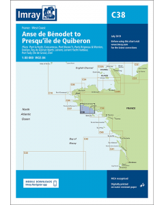
C38 Anse de Bénodet to Presqu'île de Quiberon (Imray Chart)

- FREE Delivery to UK - Spend over £75
- FREE Delivery to Europe - Spend over £150
- Worldwide Delivery Available
Imray Chart - Atlantic France
Product Details
Part Number: YOT0450
Scale: 1:80000
ISBN: 9781846237171
Publisher: Imray Laurie Norie And Wilson Ltd
Edition: 2016
Printed and corrected to: February 2024
Format: Sheet size 787 x 1118mm. Waterproof. Folded in plastic wallet.
Language: English
MPN: ICC38-2
Plans included:
- Port la Forêt (1:15 000)
- Concarneau (1:15 000)
- Port Manec’h (1:35 000)
- Ports Brigneau & Merrien (1:20 000)
- Doëlan (1:15 000)
- Îles de Glénan North (1:30 000)
- Lorient (1:35 000)
- Lorient Yacht Harbour (1:10 000)
- Port Tudy (Île de Groix) (1:10 000)
- Étel (1:35 000)
On this 2016 edition the latest depth surveys have been applied along with general updating throughout. Harbour developments at Concarneau are included.
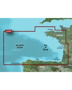
South Brittany Nautical Charts

Atlantic France Imray Charts

Brittany & Channel Islands Cruising Guides & Pilot Books


Atlantic Europe Cruising Guides & Pilot Books


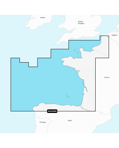
Atlantic Europe Regular Digital Charts
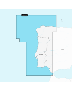


Atlantic Europe Large Digital Charts
-
Navionics+ Large - Europe, Central & West
Special Price £220.00 Regular Price £229.99Stock In stock -
-
-