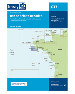
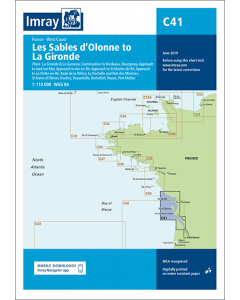
C41 Les Sables d'Olonne to La Gironde (Imray Chart)

- FREE Delivery to UK - Spend over £75
- FREE Delivery to Europe - Spend over £150
- Worldwide Delivery Available
Imray Chart
Product Details
Part Number: YOT0462
Scale: 1:110000
ISBN: 9781846238796
Publisher: Imray Laurie Norie And Wilson Ltd
Edition: 2017
Printed and corrected to: February 2024
Format: Sheet size 787 x 1118mm. Waterproof. Folded in plastic wallet.
Language: English
MPN: ICC41-2
Plans included:
- Bourgenay (1:10 000)
- Approach to Jard-sur-Mer (1:17 500)
- Approach to Ars-en-Ré (1:40 000)
- Approach to St Martin-de-Ré (1:15 000)
- Approach to La Flotte-en-Ré (1:15 000)
- Rade de la Pallice (1:40 000)
- La Rochelle and Port des Minimes (1:15 000)
- St-Denis-d’Oléron (1:10 000)
- Douhet (1:7500)
- Boyardville (1:10 000)
- Rochefort (1:10 000)
- Royan (1:7500)
- Port Médoc (1:12 500)
- La Gironde & La Garonne (1:200 000)
- Continuation to Bordeaux (1:200 000)
On this 2017 edition the latest depth surveys have been applied where available. Harbour and marina development at Port Minimes and La Pallice are included as is the latest information on nature and marine reserves. The La Gironde to Bordeaux plan has improved detail and increased usability. The chart specification has been improved to show coloured light flashes. There has been general updating throughout.
Atlantic France Imray Charts


Atlantic Europe Cruising Guides & Pilot Books


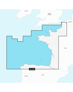
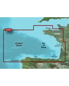
Atlantic Europe Regular Digital Charts
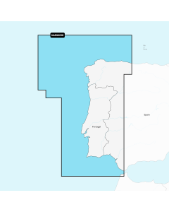


Atlantic Europe Large Digital Charts
-
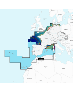
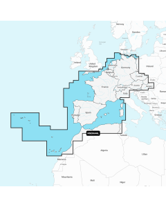
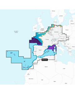
Navionics+ Large - Europe, Central & West
Special Price £220.00 Regular Price £229.99Stock In stock -
-
-