Imray Digital Charts for Raymarine ID40 Atlantic France, Iberia and Atlantic Islands

- FREE Delivery to UK - Spend over £75
- FREE Delivery to Europe - Spend over £150
- Worldwide Delivery Available
This new release of Imray Digital Charts for Raymarine covers the Bay of Biscay, Northwest Spain, Portugal, the Azores, Canary Islands and Madeira.
Product Details
Part Number: NAV5240
Manufacturer: Imray Laurie Norie And Wilson Ltd
Scale: No
Publisher: Imray Laurie Norie And Wilson Ltd
Format: microSD/SD Card
MPN: RCRAYID40-23
This new release of Imray Digital Charts for Raymarine covers the Bay of Biscay, Northwest Spain, Portugal, the Azores, Canary Islands and Madeira.
The chart packs have been updated and designed specifically for Axiom’s LightHouse 4 operating system, providing sailors with Imray’s award-winning raster cartography. Imray charts on Axiom zoom and pan quickly, making exploring and navigating with Imray charts informative and easy to use.
Published in England, Imray charts are based on the latest licensed Hydrographic Office surveys alongside unique information sourced from Imray’s network of experts, local sources, and experienced mariners. The charts are carefully edited and are specifically designed for the navigation needs of the leisure sailor.
Supplied as a microSD card, Imray Digital Charts use information-rich raster images corresponding precisely to the equivalent Imray paper charts. Leisure sailors will appreciate Imray’s familiar paper chart colours, and professional mariners can navigate confidently with IMO-approved symbology. Each digital chart pack is georeferenced and quilted to zoom and pan smoothly across the different charts for each area. Imray’s acclaimed large-scale harbour plans, also found on the paper charts, usefully provide all necessary information in one place.
These chart packs are fully updated and released annually in the spring.
Raymarine Axiom users can take advantage of new Imray charts by upgrading their Axiom display to the latest, please follow link at bottom of page.
Includes coverage equivalent to Imray charts
C6 Salcombe to Lizard Point
C7 Falmouth to Isles of Scilly and Trevose Head
C18 Western Approaches to the English Channel & Bay of Biscay
C19 A Coruña to Gibraltar
C20 Strait of Gibraltar to Archipélago dos Açores & Islas Canarias
C35 Baie de Morlaix to L'Aber-Ildut
C36 Île d’Ouessant to Raz de Seine
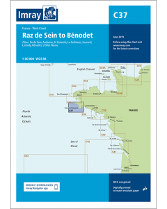
C37 Raz de Sein to Benodet
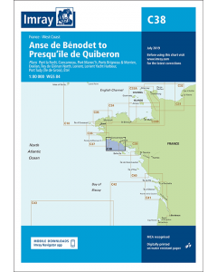
C38 Anse de Bénodet to Presqu'île de Quiberon
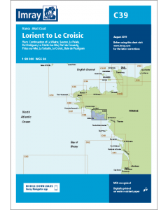
C39 Lorient to Le Croisic
C40 Le Croisic to Les Sables d’Olonne
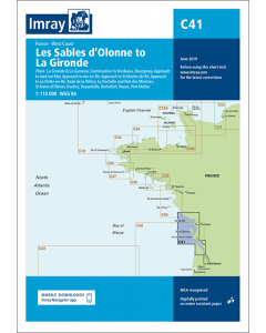
C41 Les Sables d'Olonne to La Gironde
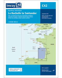
C42 La Rochelle to Santander
C43 Santander to A Coruña
C48 A Coruña to Porto
C49 Ria de Aveiro to Sines
C50 Sines to Gibraltar
Y45 Plymouth Harbour (Small Format)
Y47 Falmouth Harbour (Small Format)
Y48 Helford River (Small Format)
Y49 Isles of Scilly (Small Format)
Y50 Saint Mary's, Tresco and Surrounding Islands (Small Format)
2400.6 River Yealm
E1 Arquipelago dos Açores
E2 Islas Canarias
E3 Arquipélago da Madeira