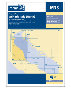
M33 Adriatic Italy - North (Imray Chart)

- FREE Delivery to UK - Spend over £75
- FREE Delivery to Europe - Spend over £150
- Worldwide Delivery Available
Italy, East Coast Imray Chart - 1:350,000 Scale
Product Details
Part Number: YOT2089D
Scale: 1:180000
ISBN: 9781846237010
Publisher: Imray Laurie Norie And Wilson Ltd
Edition: 2015
Printed and corrected to: April 2023
Format: Sheet size 640 x 900mm. Waterproof. Folded in plastic wallet.
Language: English
MPN: ICM33-2
Plans included:
- Ravenna Coast (1:50 000)
- Porto di Ravenna (1:20 000)
- Porto di Rimini (1:10 000)
- Porto di Fano (1:7500)
- Porto di Ancona (1:25 000)
- Porto di San Benedetto del Tronto (1:10 000)
- Marina di Pescara (1:15 000)
For this 2015 edition the chart has been fully updated throughout showing revised depths where required. Various harbour developments are shown at Porto di Ravenna, Porto di Rimini, Porto di Ancona and Marina di Pescara. The plan of Ancona Coast has been removed and replaced with two new harbour plans - Porto di Fano and Porto di San Benedetto del Tronto. The sketch plan of Pescara has been replaced with a fully georeferenced WGS84-compatible plan.
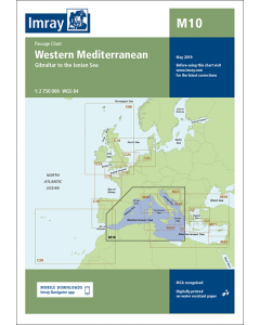
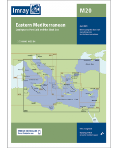
Italian Adriatic & Ionian Seas Imray Charts
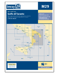
Adriatic Sea Imray Charts
Italy & Malta Cruising Guides & Pilot Books


Adriatic Sea Cruising Guides & Pilot Books
-
-
-
-
-
-
Adriatic Sea Pilot - Volume 1 (Piranski Zaljev to Virsko More)
£85.00Stock Out of stockOut of stock -
-
-