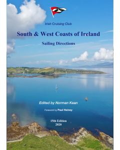
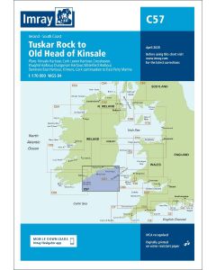
South & West Coasts of Ireland Sailing Directions

- FREE Delivery to UK - Spend over £75
- FREE Delivery to Europe - Spend over £150
- Worldwide Delivery Available
Covers from Rosslare west to Mizen Head and north to Bloody Foreland, by way of Cork, Baltimore, Bantry Bay, Dingle, the Aran Islands, Connemara, Clew Bay, Sligo and Donegal.
Product Details
Part Number: PIL0550
Edition: 2019
Printed and corrected to: No
ISBN: 9780955819988
Publisher: Irish Cruising Club
Format: Paperback
Covers from Rosslare west to Mizen Head and north to Bloody Foreland, by way of Cork, Baltimore, Bantry Bay, Dingle, the Aran Islands, Connemara, Clew Bay, Sligo and Donegal.
- A4, soft cover, 368 pages
- 65 colour plans
- 427 sea level and 275 aerial photographs, including 178 new drone photographs
- Text completely revised in respect of navigational aids, facilities and shoreside amenities
- Describes 337 ports, harbours and anchorages
- New or improved facilities at 12 harbours
- Latest findings from the INFOMAR hydrographic survey project including many hitherto uncharted dangers
- Sources of diesel fuel identified, in the light of the ban on marked diesel from January 2020 in the Republic of Ireland

![NP255 - ADMIRALTY Tidal Stream Atlas: Falmouth to Padstow [including Isles of Scilly]](https://www.bookharbour.com/media/catalog/product/cache/f073062f50e48eb0f0998593e568d857/n/p/np255_1.jpg)