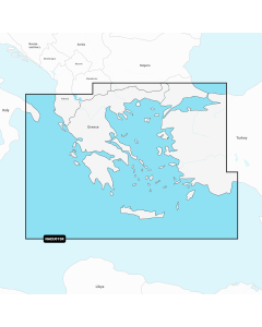
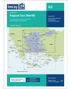
G2 Aegean Sea - North (Imray Chart)

- FREE Delivery to UK - Spend over £75
- FREE Delivery to Europe - Spend over £150
- Worldwide Delivery Available
Greek Waters Passage Chart by Imray - 1:175,000 Scale
Printed and corrected to January 2024
Product Details
Part Number: YOT3002
Scale: 1:750000
ISBN: 9781786795434
Publisher: Imray Laurie Norie And Wilson Ltd
Edition: 2024
Printed and corrected to: January 2024
Format: Sheet size 640 x 900mm. Waterproof. Folded in plastic wallet.
Language: English
MPN: ICG2-3
Plans included:
Approaches to Ístanbul (1:150,000)
Izmit Körfezi (1:500,000)
Çanakkale Bogazi (The Dardanelles) (1:300,000)
Imray-Tetra charts for the Ionian and Aegean are widely acknowledged as the best available for the cruising sailor. They combine the latest official survey data with first-hand information gathered by Rod and Lucinda Heikell. The chart is designed to be used alongside Imray pilot guides of the area. Like all Imray charts, they are printed on water resistant Pretex paper for durability, and they include many anchorages, facilities and inlets not included on official charts.
This edition includes the latest official data combined with additional information sourced from Imray''s network to make it ideal for small craft. It includes the latest official bathymetric surveys. There has been general updating throughout.
West Aegean Imray Charts
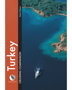
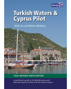
Turkey & Cyprus Imray Charts
Central & Eastern Mediterranean Imray Passage Charts
Greek Waters Cruising Guides & Pilot Books
-
-
-
-
-
-
-
-
-
Greece Sea Guide Vol III - Ionian Sea, Peloponnisos (except East coast)
£119.95Stock Out of stockOut of stock