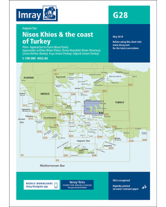
G28 Nísos Khíos & the Coast of Turkey (Imray Chart)

- FREE Delivery to UK - Spend over £75
- FREE Delivery to Europe - Spend over £150
- Worldwide Delivery Available
Greek Waters, Aegean Sea Imray Chart - 1:190,000 Scale
Product Details
Part Number: YOT3028
Scale: 1:190000
ISBN: 9781786790156
Publisher: Imray Laurie Norie And Wilson Ltd
Edition: 2018
Printed and corrected to: January 2024
Format: Sheet size 640 x 900mm. Waterproof. Folded in plastic wallet.
Language: English
MPN: ICG28-2
Plans included:
- Approaches to Psará (Nísos Psará) (1:15,000)
- Approaches to Khíos (Nísos Khíos) (1:20,000)
- Órmos Mandráki (Nísos Oinoússa) (1:8,000)
- Çesme Körfezi (Turkey) (1:18,000)
- Foça Limani (Turkey) (1:20,000)
- Sigaçik Limani (Turkey) (1:18,000)
On this 2018 edition full details of the new TSS schemes are shown at Izmir Körfezi, Çandarli Körfezi and Nemrut Koyu- revised depths and harbour developments are shown at Psará, Khíos, Çesme and Foça- the Sigaçik Limani sketch plan has been replaced with a fully WGS84-compatible version- the latest known depths, restricted areas and marine farms have been applied to the main chart- and details of the recently deployed AIS transmitters are shown across the chart.
Turkey & Cyprus Imray Charts
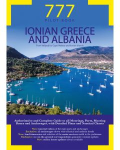
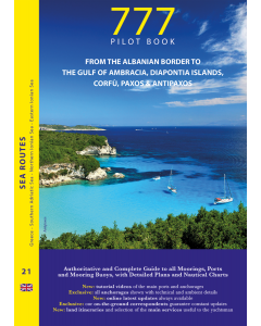
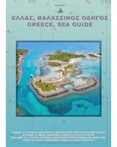
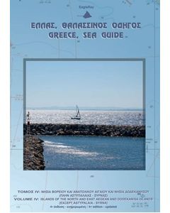
Greek Waters Cruising Guides & Pilot Books
-
-
-
-
-
-
-
-
-
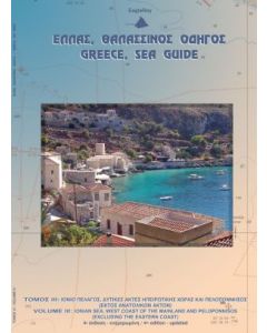
Greece Sea Guide Vol III - Ionian Sea, Peloponnisos (except East coast)
£119.95Stock Out of stockOut of stock