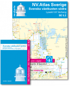
SE 5.2: NV.Atlas Sverige - Svenska västkusten södra

- FREE Delivery to UK - Spend over £75
- FREE Delivery to Europe - Spend over £150
- Worldwide Delivery Available
This atlas contains a download code for all charts in this area to be used with the nv chart app. The app is compatible with Apple: iOS/MacOSX, Android & Windows: 7/8/10.
Product Details
Part Number: YOT0006SE52
Scale: 1:1(Various)
ISBN: 9783910644090
Publisher: NV Charts
Edition: 2024
Printed and corrected to: edition date
Format: Combipack - Paper / Download and app
Language: German, Swedish
MPN: 1752
As an extension of the popular series 3, NV Charts is offering series 5.2 on the Swedish west coast. This set of charts takes you from the surfing paradise of Varberg along the west Swedish archipelago to Gothenburg. From there you can drive into the Trollhätte Canal to get into the Göta Canal. Otherwise it goes on the rocky archipelago past Marstrand to Orust, the third largest island in Sweden and on to Smögen. This set of charts ends south of the uninhabited island of Vaderö.
This chart series for the archipelago is probably the most detailed set of recreational shipping charts on the market due to the publisher's own measurements and information. In many of the areas of interest for recreational boating, larger scales are used and additional charts are inserted. A harbour pilot with marinas and anchorages is included. Further nautically important information is available there in German and Swedish.
This chart set contains
- 2 Passage Charts / Översiktskort
- 15 Coastal Charts / Skärgårdskort
- 9 detailed charts / Specialkort
- Data and information away from the fairways
- Publishers own surveys and corrections
- nv charts app and navigation software
- Harbour Pilot in paper / digital in German and Swedish
- Navigation instructions in German/English/Svensk
- Meets legal requirements for up-to-date paper charts on board
Containing charts and scales
Passage Charts / Översiktskort
S1 Halden to Lysekil 1: 240.000 S2 Lysekil to Varberg 1: 240.000 (Pilot Chart Anholt-Færder-Jomfruland 1: 750.000 only in digital format)
Coastal Charts / Skärgårdskort
S3 North of Orust 1: 40.000 S4 East of Orust 1: 40.000 S5 North of Tjörn 1: 40.000 S6 East of Tjörn 1: 40.000 S7 Fiskebäckskil to Käringön 1: 40.000 S8 Käringön to Marstrand 1: 40.000 S9 Marstrand to Sälö 1: 40.000 S10 Sälö to Öckerö 1: 40.000 S11 Öckerö to Vinga 1: 40.000 S12 Vinga to Tistlarna 1: 40.000 S13 Tistlarna to Malö 1: 40.000 S14 Malö to Ringhals 1: 40.000 S15 Ringhals to Varberg 1: 40.000 S16A Nordre Älv 1: 40.000 S16C Kungsbackafjord 1: 40.000
Detail maps
S3A Råbergsund 1: 10.000 S16B Nordre Älv Flood barrage 1: 3.000 S17 Lysekil to Gullholmen 1: 20.000 S18 Gullholmen to Käringö Fjord 1: 20.000 S19 Käringö Fjord to Kyrkesund 1: 20.000 S20 Kyrkesund to Klädesholmen 1: 20.000 S21 Marstrand 1: 20.000 S22 Öckerö to Vinga 1: 20.000 S23 Långedrag to Vrångö 1: 20.000
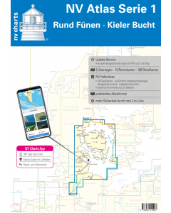
Sweden NV.Atlases
-
-
-
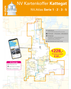
NV.Kartenkoffer Kattegat - NV.Atlas Serie 1, 2, 3, 5.1& 5.2
Special Price £269.00 Regular Price £404.95Stock In stock
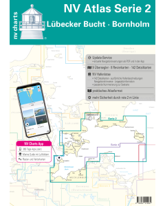
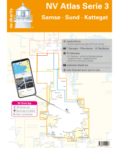
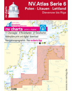
Baltic Sea NV.Atlases
-
-
-
-
-
-
-
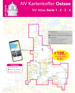
NV.Kartenkoffer Ostsee - NV.Atlas Serie 1, 2, 3 & 4
Special Price £249.00 Regular Price £339.96Stock In stock -
NV.Kartenkoffer Kattegat - NV.Atlas Serie 1, 2, 3, 5.1& 5.2
Special Price £269.00 Regular Price £404.95Stock In stock -